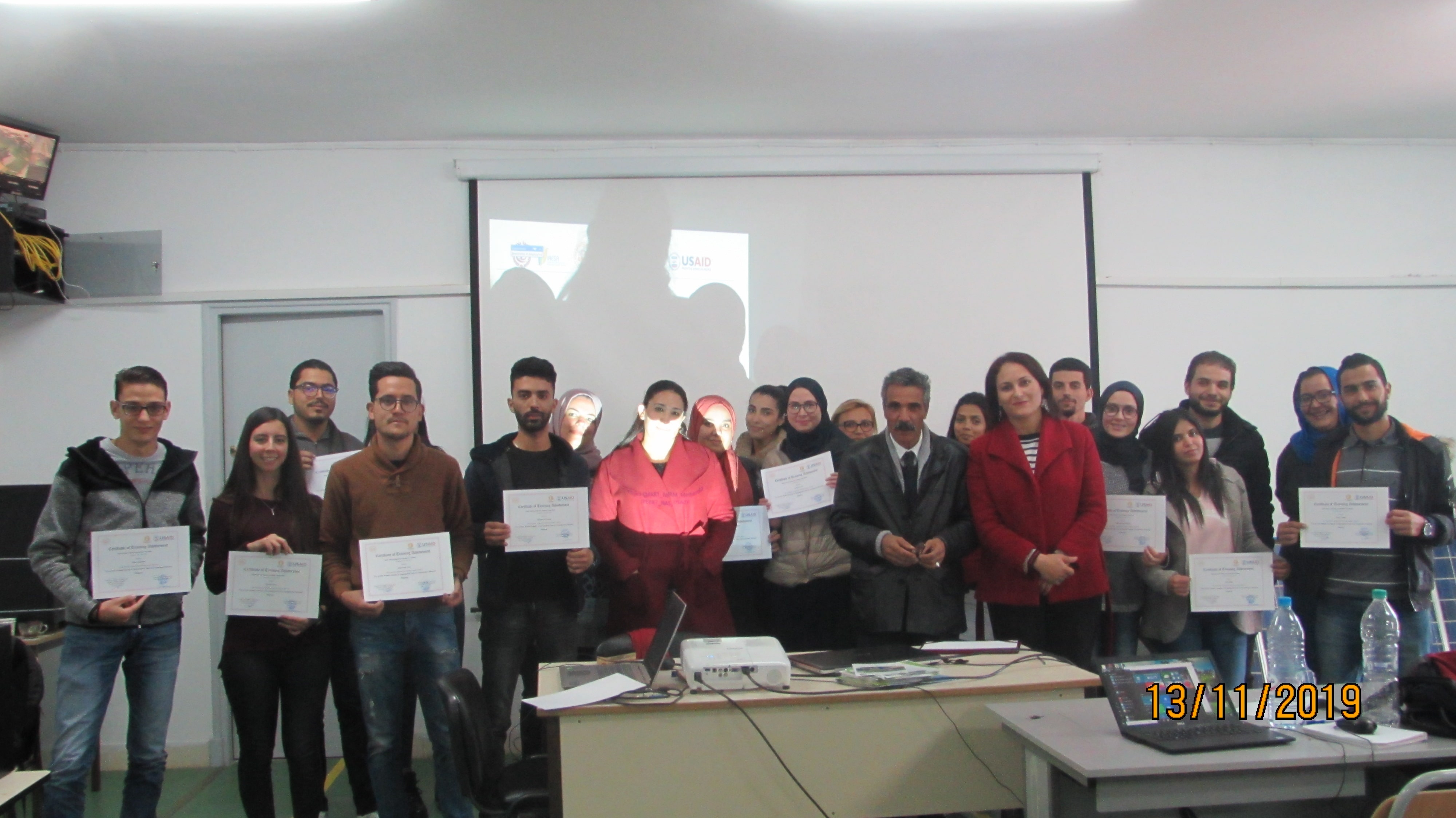
12&13 Novembre 2019 Summer School “Use of GIS, Remote Sensing and Geostatistical tools in groundwater potential Mapping”
Summer School “Use of GIS, Remote Sensing and Geostatistical tools in groundwater potential Mapping” During two days : Three theoretical lectures are presented about the (i) Application of GIS, Remote Sensing & Geostatistical Tools in Groundwater Potential Mapping (ii) Presentation of Frequency Ratio Model (iii) Application of Frequency Ratio Model on groundwater mapping Practicle exercices…

